
Anderson County Neighbors by Block
Official sources describe parcels and dated records, not a current resident list for a block. Start with the map to understand the land pattern. Then check an individual parcel card through the Assessor route when a recorded ownership question is relevant. A voter tool serves the voter or a restricted program, and historic street material speaks only to its own date. The sources below should be read as separate evidence, not merged into a list of people.
| Source | What It Shows About a Block | Access |
|---|---|---|
| Anderson County Property Viewer | Parcel shapes, TMS values, and map context | Disclaimer required; informational map, updated daily |
| ACPASS parcel cards | Recorded owner, mailing address, deed, and plat fields for a parcel | Account-gated; owner or mailing contact is not proof of residence |
| MyscVOTES and voter lists | Personal voter information or a qualified state program | No documented public street-browse route |
| City directory Street section | Numbered buildings, names, businesses, and cross-street clues in a dated volume | Historical source only, not a current block list |
| Neighborhood planning history | Named groups in a 2009 civic-planning record | Not a current membership list or contact directory |
The boundary on a parcel map is not a survey, legal description, or proof of occupancy. Its useful role is geographic: it lets a researcher identify immediately touching parcels and preserve the Tax Map Number for a separate custodian check.
Map Anderson County Neighbor Parcels
The verified adjacent-parcel workflow is visual. No dedicated buffer, radius, or adjacent-parcel tool was confirmed. Use the County map to see what parcel polygons physically touch the reference parcel, then examine each one separately. This respects the distinction between a map display and an official record.
- Accept the Property Viewer disclaimer.
- Search or pan to the reference address.
- Use Identify on the target parcel and note its TMS.
- Inspect the contiguous parcel polygons shown on the map.
- Check each separate parcel through the Assessor, ACPASS, or the appropriate county counter.
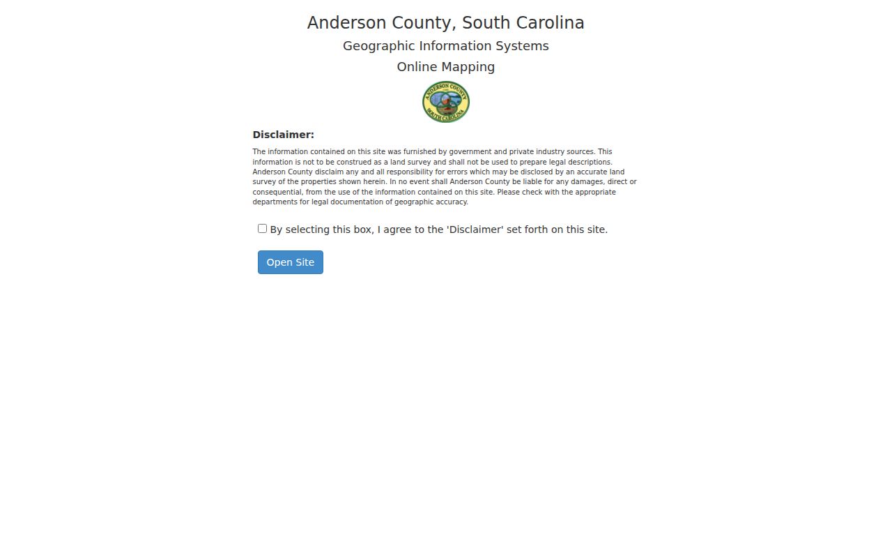
The Anderson County Property Viewer entry screen is shown below. It requires acceptance before the interactive map opens, reinforcing that the display is not a legal description or survey.
For a full named-street record chain, use the Anderson County street directory. The block method stays focused on the immediate parcel pattern rather than a whole street’s history.
Anderson County Neighbor Map Layers
The Property Viewer’s context layers can help separate several geographic questions. Documented layers include parcel, parent-TMS, old lot line, dimensions, easement, road, municipal boundary, ZIP boundary, precinct, flood, cemetery, and tax map. A line for a ZIP or precinct does not determine a parcel boundary, ownership, or the people present at an address. The map remains a tool for orientation and TMS capture.
The City of Anderson’s public entry is shown below as a municipal-service source. It does not provide an Anderson County neighbors directory, and municipal service information should not be read as evidence about a parcel or nearby occupants.
Use the County Property Viewer for parcel geometry, then use the appropriate County or City custodian for the official record associated with a parcel or address.
Compare Anderson County Parcel Cards
ACPASS is account-gated, but the Assessor documents three parcel-search approaches: owner name, entered last name first; Tax Map or TMS number; and street name. A parcel detail can include owner name, mailing address, deed information, plat information, lot number, acreage, ratio, and tax district. These are valuable recorded fields, yet none creates a confirmed list of people who live nearby.
A situs is the physical property address. A mailing address is where the owner receives correspondence and may be elsewhere. The TMS and legal description connect assessment, plat, and deed research, although a split or combination can change the current map relationship. Preserve these fields exactly when comparing contiguous parcels.
The Viewer help material says map data are updated daily and official records remain on file in the respective county offices. When a parcel has been divided or combined, today’s outline may not mirror an earlier deed. Return to the legal description, plat reference, and recording date before treating two parcel shapes as the same tract in a historical comparison.
Note: A parcel’s owner or mailing address may explain a recorded interest, but it does not confirm current occupants or every household member.
Anderson County Neighbor Voter Limits
MyscVOTES is the state’s personal voter-information system. It supports registration, updates, sample ballots, polling-place finding, county-office contact, and a voter’s own history. Anderson County’s elections office likewise describes access to an individual’s registration information, polling location, and districts when the residential address is correct. Neither source is a public nearby-address search.
The documented full voter-list program has restrictions. It is available to a registered South Carolina voter and has selection criteria such as county, voting district, age, sex, race, household, election participation, and registration date. Research did not document a general street-browse field. Voting history describes participation, not ballot choices.
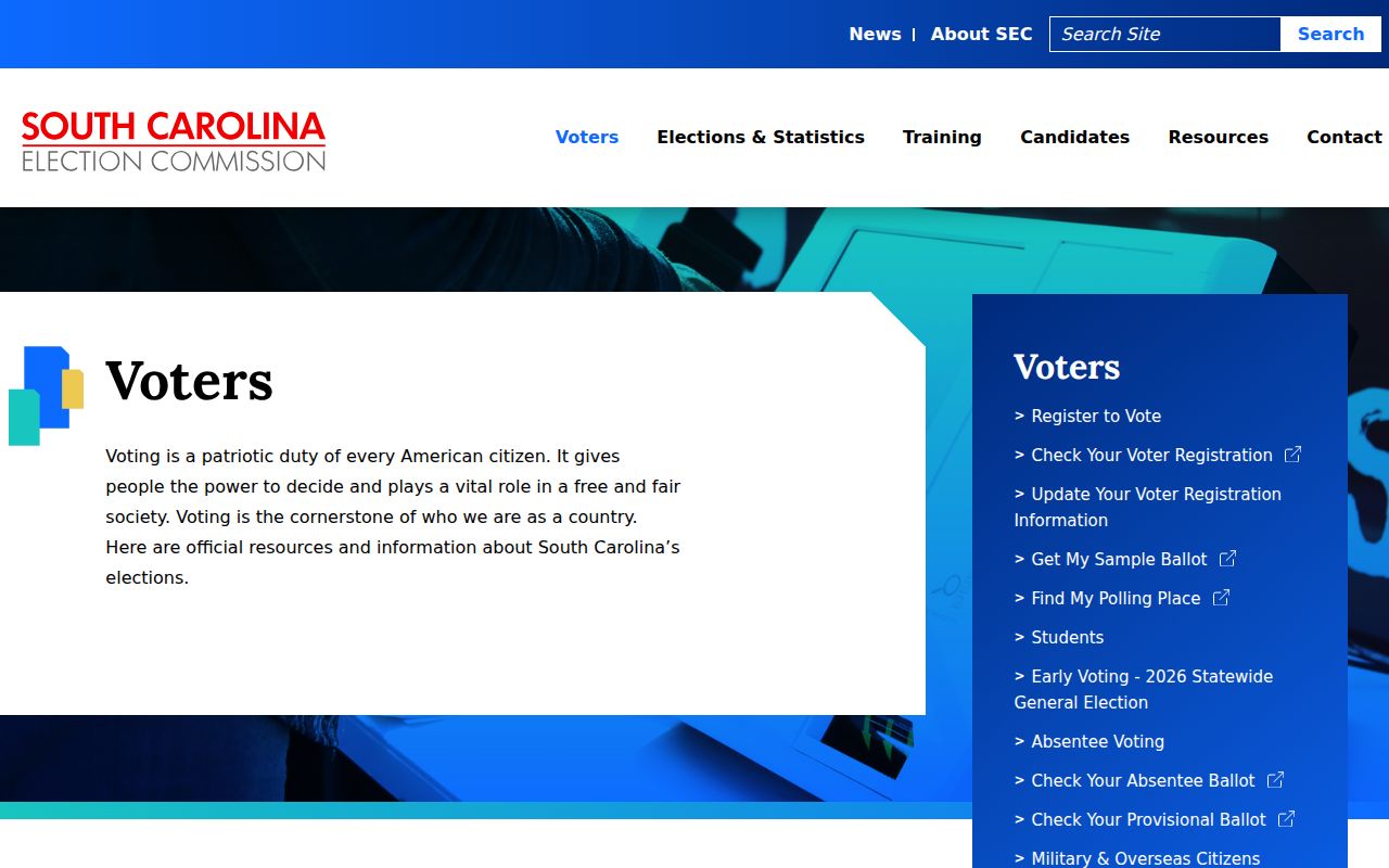
The South Carolina voter-tools page is shown below. Its personal tools should remain separate from parcel research about Anderson County neighbors.
For a specific access question, begin with the County Board of Voter Registration and Elections or the State Election Commission rather than inferring a block’s present population from a voter system.
Anderson County Historic Neighbor Clues
The 1905-06 Anderson directory has a Street section with numbered buildings, names or businesses, and cross-street clues. That creates a useful dated view of an older block. It cannot be extended into an uninterrupted history or a statement about who lives there now. Later Street or reverse-section status must be checked by the individual volume.
The Anderson County Library holds Anderson city directories for 1905-1960, and the Museum’s Roper Research Room lists a 1905-2006 directory holding. Pair a directory entry with its printed year, a released census, map material, deed records, or probate material. Each source contributes a different date and record purpose.
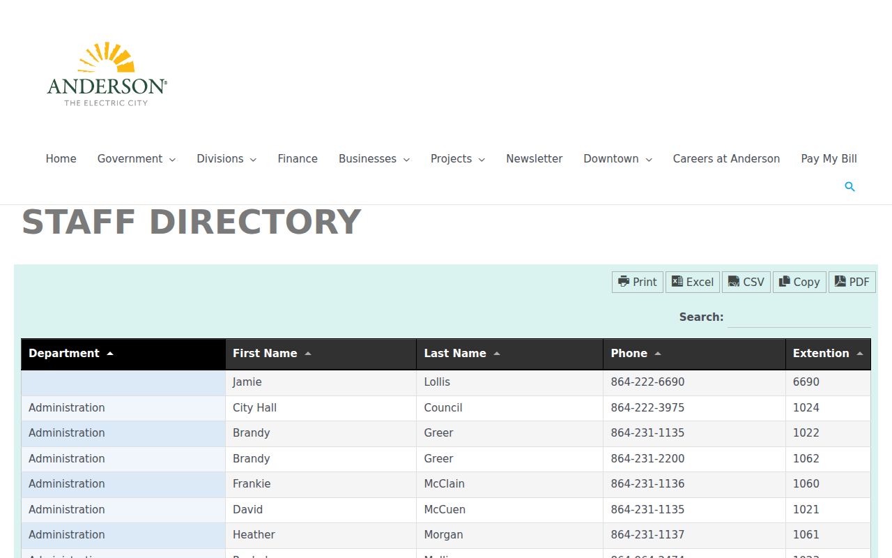
The City of Anderson staff directory shown below is a municipal contact page, not a historic or current neighbor source. It may help locate a City office, but it does not identify residents of a block.
Historic neighborhood research is strongest when the record date, parcel context, and the source’s stated limits travel with each conclusion.
Anderson County 2009 Planning Groups
The City of Anderson Neighborhood Revitalization Implementation Plan names several civic groups. These are 2009 planning-era references only. They are not evidence of current associations, memberships, contacts, boundaries, or representation of nearby parcels. No authoritative active countywide neighborhood membership directory was located.
| 2009 planning-era group | Current-use limit |
|---|---|
| East Anderson Alliance; Sleepy Hollow Neighborhood Group | Historical planning references, not current directories |
| Eastside Concerned Citizens; Alphabet Streets/Anderson Mill Community Group | Historical planning references, not current directories |
| Westside Community Coalition; RSVP/Reed Street Project Group | Historical planning references, not current directories |
| Southeast Community Task Force | Historical planning reference, not a current directory |
These names help interpret a 2009 civic document. They should never be used as a present block roster or a reason to infer a person’s affiliation.
Anderson County Address Service Context
Address-based City services are separate from parcel ownership and neighbor research. Anderson Connect is a municipal service-request route. It can help a resident report a local service issue, but it is not a directory of people, a parcel-record confirmation tool, or a substitute for the County’s Property Viewer and Assessor records.
The Anderson Connect page appears below as an address-based City service route. Its inclusion identifies the source’s limited purpose rather than treating municipal requests as evidence about nearby residents.

The correct map-and-record sequence remains address to parcel, parcel to TMS, then separate custodian checks for each parcel.
Anderson County Neighbor Source Comparison
Official records identify the custodian, record type, and access conditions. Unnamed commercial people-search tools may combine public and other information, but their timing and accuracy can vary. Neither category should be treated as proof of current occupancy. For parcel questions, an official map and individual custodian record provide the clearest explanation of what was actually recorded.
| Source type | Useful for | Limit |
|---|---|---|
| County map and parcel record | Parcel geometry, TMS, recorded owner, mailing, deed, and plat context | Does not confirm all occupants |
| Dated historical source | What a directory, census, map, or probate item documented at its date | Cannot establish a current block |
| Commercial category | Possible leads requiring independent confirmation | May be incomplete, stale, or misattributed |
Read any result against the original custodian record, including date, parcel identifier, and legal context. That protects both accuracy and privacy. A map display can change as plats and deeds cause parcel splits or combinations. The County says those changes are reflected in the next tax year, so an older deed must be read with its own legal description rather than only with today’s parcel shape.
For a historic block question, a printed street entry, tax map, estate file, or census entry should retain its date in the research note. The Anderson County Library’s local-history collection includes directories, deeds, census, newspapers, cemeteries, probate, and tax material. A well-supported conclusion identifies the particular source and period instead of converting scattered references into a current list of neighbors.
Anderson County Neighbor Privacy Limits
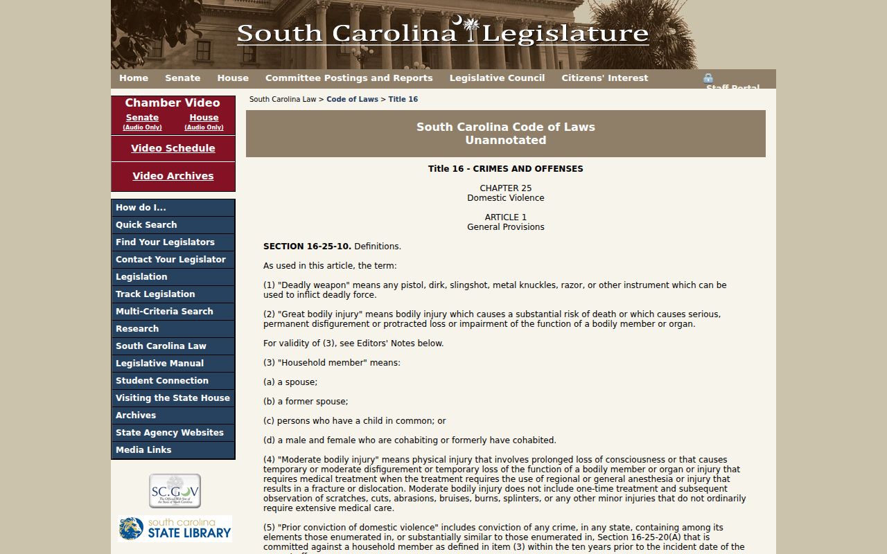
A block search cannot show unrecorded occupants, every household member, utility or delivery customers, protected addresses, or DMV address data. South Carolina’s address-confidentiality statute, section 16-25-130, allows qualifying people to use a designated address. Voter information has its own state restrictions, and the County map does not override any of them.
The South Carolina address-confidentiality statute is shown below. It explains a legal protection, not a search feature or a means to identify protected people.
When a map or record seems incomplete, ask the appropriate custodian about its scope. A privacy limit is not evidence that a person does or does not live at a particular address.