
Anderson County Previous Residents Sources
An Anderson County address has separate evidence layers. A current parcel record is the practical starting point because it can preserve a Tax Map Number, current legal description, and deed or plat references. Earlier land materials follow parties and descriptions, while directories and census schedules supply dated household clues. The table distinguishes each source's documented span and purpose. It is not a promise of uninterrupted coverage, searchable images, or a complete list of everyone at an address.
| Source | Years It Covers | Where Held | What It Shows |
|---|---|---|---|
| Current parcel route | Current; no verified online start year | ACPASS, Assessor, and Property Viewer | Modern TMS, street and owner route, parcel context, and deed or plat references. ACPASS is account-gated. |
| Library conveyance index | 1790-1948 | FamilySearch through library guidance | Name and legal-description entry point for an earlier land trail. |
| Library conveyance books | 1789-1901 | FamilySearch through library guidance | Earlier recorded conveyance books and images. |
| State Archives conveyance books | 1828-1901 | South Carolina Archives guide | Historical Register of Mesne Conveyances series. |
| State Archives mortgages | 1872-1910 | South Carolina Archives guide | Financing trail connected to property and parties. |
| Anderson city-directory books | 1905-1960 | Anderson County Library South Carolina Collection | Printed household, business, or address clues in named years. |
| Museum city directories | 1905-2006 | Anderson County Museum Roper Research Room | Local directory collection; individual year availability must be confirmed. |
| USC digitized directory | 1905-1906 | University of South Carolina digital collections | Online Walsh item that can be searched and viewed page by page. |
| Federal census | Publicly released through 1950 in 2026 | National Archives and authorized library genealogy resources | Households as of the census date. |
| Probate Judge estate papers | 1790-1868; later packets approximately 1876-1915 | Library, FamilySearch, and Probate Court for later records | Estate and family connections that can inform a property history. |
| Auditor's tax books | 1871-1900 | FamilySearch through the library | Taxpayer and property clues between deed and directory dates. |
| Sanborn maps | Anderson dates not verified | Library map case, USC, and Library of Congress routes | Building and street context; confirm date availability before relying on a sheet. |
Start with the current parcel when the goal is an ownership trail. Start with a dated directory or census when the question is who lived here before. For an early property question, the library's index and conveyance books, the archive guide, and the Register of Deeds are complementary routes rather than interchangeable databases.
Anderson County Previous Residents Deed Chain
A deed chain begins with the parcel, not an assumption that the current street number existed in every period. The county describes an ACPASS route through Real Property and Property Search with Owner Name, Taxmap or TMS, and Street Name options. The accessible ACPASS landing page is a login screen, while the county's Assessor instructions still document those parcel-search fields. Preserve the results exactly as shown: TMS, owner, mailing address, deed and plat references, lot, acreage, ratio, tax district, and legal description.
- Use the Anderson County Assessor instructions and ACPASS route to identify the current parcel and its TMS or legal description.
- Take the current deed or plat reference to the Anderson County Register of Deeds and record the grantee, grantor, date, instrument or book and page, and legal description.
- Search the seller from that deed as a grantee in an earlier conveyance, then compare the descriptions rather than relying only on the street number.
- Repeat the party-to-party check until the available series changes, recording every description variant and reference along the way.
- For earlier work, move to the library's historical conveyance materials, FamilySearch guidance, and the archives series rather than inventing a modern online cutoff.
- Grantor and grantee
- The grantor is the seller or party conveying an interest. The grantee is the buyer or receiving party named in that transfer.
- Chain of title
- A backward sequence of recorded ownership transfers connected by parties and the property description. It is not a list of all people connected with an address.
- Legal description
- The lot, parcel, plat, or other recorded land description used to compare property across changing street labels and tax maps.
- TMS
- The Tax Map Number that connects current county parcel work to assessment and map records.
Current property data can be a useful entry point, but the Register's recorded reference and the earlier conveyance description are what allow the Anderson County previous residents trail to move backward carefully.
Anderson County Previous Residents Parcel Changes
A present parcel outline cannot replace the historical description in a deed. Anderson County says a recorded deed or plat for part of a lot causes mapping staff to alter the tax map and tax record, with split or combine changes taking effect in the following tax year. That can leave an old description, a current TMS, and a street label looking different even when they refer to related land. Keep the older deed language and test several legal-description variants before deciding a trail has ended.
The Anderson County Property Viewer can help locate a present parcel and its tax-map geometry after its disclaimer is accepted. County guidance says the map is updated daily, but the information is not a survey or legal description and official records remain with their respective county offices. It supplies map context, not final proof of a boundary or person.
Review the Register of Deeds access route when a deed reference must be checked against the recorded document.
The Register is the formal recorded-document channel, while the parcel viewer helps a researcher recognize which current map feature may correspond to a deed description.
Address trap. Parcel splits, combinations, road changes, and municipal changes can make a modern street number a poor key for older documents. Use the deed's legal description alongside the address.
Anderson County Previous Residents Household Clues
Ownership is only one part of an address history. A city directory can show an occupant, business, or address as printed in a particular volume, and a federal census can add a household grouping at its own date. Neither source fills every gap. The library holds Anderson directories from 1905 through 1960, the museum lists 1905 through 2006, and USC supplies a digitized 1905-1906 example. The collections themselves are described in detail on the Anderson County city directory page.
- Choose a directory volume near the deed event and record the name, address, and any printed occupation or business text exactly as shown.
- Inspect the next available directory year. A collection span does not establish that every volume is present or that each contains a reverse section.
- Use a reverse or criss-cross section only if that specific volume has one, then compare the address with its numbered street or business material.
- Pair the directory date with the nearest released federal census, keeping the census date distinct from the directory's publication year.
- Use deeds, tax books, estate papers, cemetery records, and newspapers to test a move, death, or family connection.
The 1905-1906 USC directory includes a Street section with numbered buildings, residents or businesses, and cross streets or intersections. Later street or reverse sections have to be verified volume by volume. For the present-day parcel steps that lead into this history, use the Anderson County street directory workflow.
See the Roper Research Room collection for its listed city-directory holdings.

The museum's 1905-2006 listing can extend the local inquiry beyond the library's cited directory run, subject to the availability of each requested year.
Anderson County Previous Residents Library Trails
The Anderson County Library South Carolina Collection is a practical bridge between the parcel trail and family-history records. Its local-history materials include directories, deeds, census, newspapers, cemeteries, probate, vertical files, and research guides. The library's research service accepts targeted named-index inquiries for $5 and can search sources such as census, cemetery surveys, family history, conveyance or land grants, marriages, pre-1900 wills, pensions, military rosters, and obituaries. It is a targeted research fallback, not an open address roster.
Use the library's beginner research guide to identify which collection type fits the date and question.
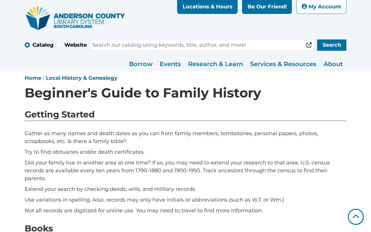
The library route is especially useful when an address needs a dated directory, deed, probate, cemetery, or newspaper check rather than another look at the current parcel card.
The Anderson County Library obituary index covers 1950-1955, 1971, 1980, and 2010-2018. Requests go through research@andersonlibrary.org or the Info Desk, cost $5 plus copying and postage, and are limited to five per request.
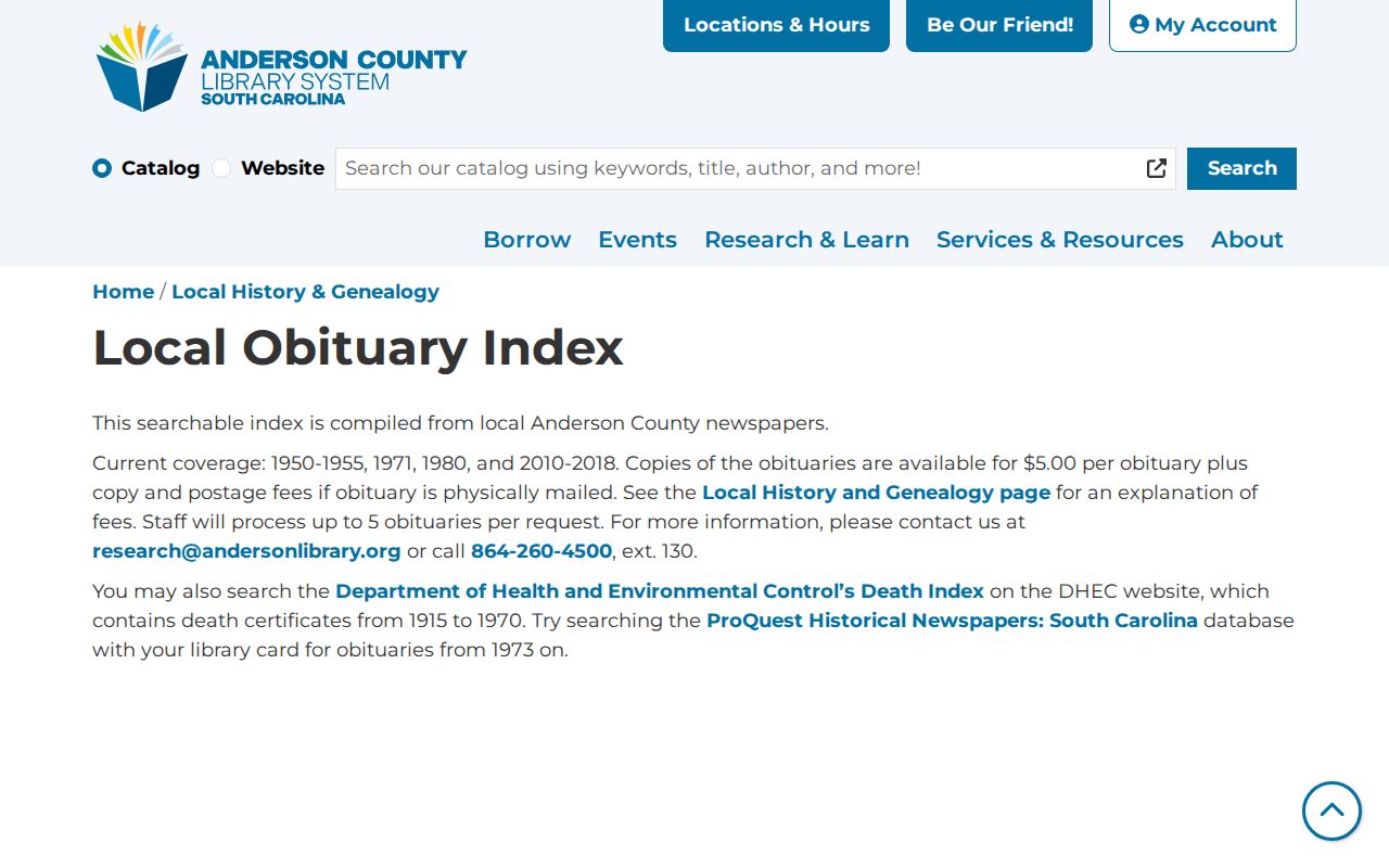
An indexed notice can provide a date or family lead to test against the address sequence. It does not establish an uninterrupted residence history.
Anderson County Previous Residents Map Context
A Sanborn Fire Insurance Map can add building and street context to an Anderson County previous residents trail, but it does not name an owner or prove an occupant. The library identifies black-and-white Sanborn maps in its map case and directs researchers to South Caroliniana Library and Library of Congress routes. The inspected sources did not enumerate Anderson publication years, so a map date must be confirmed from the catalog before it is used.
Use a dated sheet alongside the legal description, a directory page, and a deed or plat reference. That combination can test whether a street pattern or building footprint fits the time period without turning a map into a record of residence. Older route research may also require the predecessor Pendleton geography used by archival catalogs.
Anderson County Previous Residents Probate Trails
Probate can close an ownership or household question after a death. The library identifies Probate Judge estate papers from 1790 through 1868, packets 1-3210, and later packets 3216-6466 from approximately 1876 through 1915. Estate files can identify heirs, representatives, and addresses in filings. For later material, begin with Probate Court and treat the file date and record type as distinct from the time a person lived at a property.
The South Carolina Archives Anderson County guide adds context for older conveyance, tax, road, court, and estate series. Those sources can connect names and places even when an address does not appear in a city directory. They are historical record series, not current residence lists.
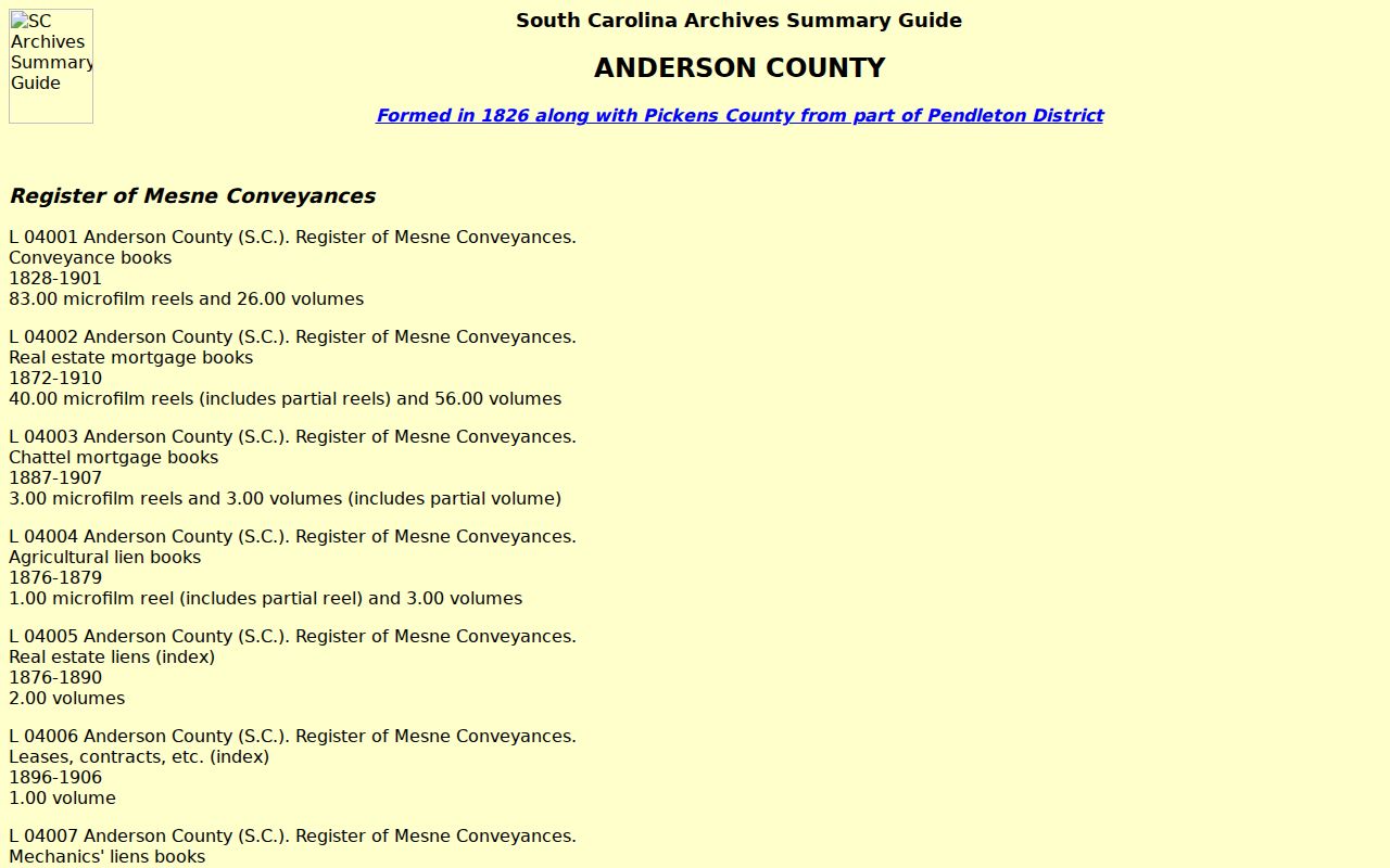
The archive inventory helps identify which series may bridge a gap, while the original document or custodian remains the source for confirmation.
Lawful use. Anderson County previous residents research is for family history, house history, and personal curiosity. Do not use information from an address trail to stalk, harass, or harm a living person.
Pendleton Before Anderson County
Predecessor geography changes the search vocabulary for an early address trail. Pendleton County formed in 1789 and became Pendleton District in 1800. Anderson and Pickens were formed from the district in 1826, and Anderson was redesignated as a county in 1868. An early deed, road, court, or estate record may therefore be indexed under Pendleton rather than Anderson County. That jurisdiction history can explain why a sound name search finds no early result under the modern county label.