
Search Anderson County Streets by Address
Anderson County documents a parcel route that begins with a street name rather than a person’s name. Use the county Assessor’s instructions to enter ACPASS, choose Real Property, then Property Search, and select Street Name. Choose a parcel from the results and copy its TMS, or Tax Map, number. Preserve the situs address, owner field, mailing address, deed information, plat information, lot number, acreage, ratio, and tax district as separate fields. A parcel card can identify a recorded ownership interest and a correspondence address. It cannot establish every person who lives at the property.
- Start with the street name in ACPASS under Real Property and Property Search. Select the parcel being researched, then retain its TMS and situs address.
- Open the same location in the Property Viewer. Use the map for parcel shape and nearby street context, then use Identify on the selected feature.
- Take the deed or plat reference to the Register of Deeds channel. Record the grantor, grantee, recording reference, and legal description before linking an older transfer to the parcel.
- For a historical address, check the date-specific 1905-06 Street section and other verified historical sources. Its contents apply to that volume, not to later years.
- Use MyscVOTES only for its documented personal voter functions. It is not a general street-browse tool, so it should not be used to claim a current street roster.
That order keeps the street directory focused on records keyed to land and address. When the goal changes from a street to confirming one person across separate record types, use the Anderson County resident lookup workflow instead.
Anderson County ACPASS Street Searches
The county’s Assessor instructions identify the fields used for a property search. ACPASS currently opens at a login and registration screen. Registration calls for a full name, email, password, and repeated password, so the documented parcel route is account-gated. The available county instructions are still useful because they identify the search choices and the record details to keep. Do not assume that an anonymous results page or a particular partial-match behavior is available.
| Field or route | Use | County guidance |
|---|---|---|
| Owner Name | Parcel search mode | Enter the last name first. |
| Taxmap / TMS | Parcel identifier search | The published material does not state a required punctuation format. |
| Street Name | Street directory starting point | The county documents this mode, but does not publish partial-match rules. |
| Real Property / Property Search | Navigation | Use this route after a disclaimer if one appears. |
| Select Property | Result action | Select the parcel under review. |
| Taxes / Estimator | Optional tax context | Not a people lookup; the estimator uses tax and classification inputs. |
A county Assessor page is the source for this documented path.
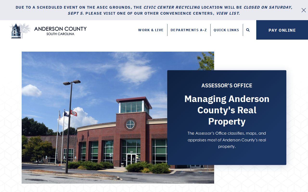
The image reflects the county’s published owner, TMS, and street-name research route. For access trouble or a question about the record, the Assessor lists a counter, phone, and email channel in addition to ACPASS.
Note: A mailing address can belong to an owner away from the property, so it is not proof that the owner occupies the situs address.
Map an Anderson County Street Parcel
The Anderson County Property Viewer supplies a visual check after a parcel is found. Accept its disclaimer, pan by dragging, zoom with the documented controls, choose Identify, and click the feature to retrieve GIS data. Advanced Search targets common parcel fields. The available map context includes parcel shapes, TMS values, roads, aerial photography, municipal boundaries, and lakes. Its stated data update is daily, which helps explain why a parcel card and a map display may need a fresh comparison.
The map has an important limit. The county says it is informational, not a land survey or legal description, and that official records remain with their respective offices. Use it to orient a street directory search, locate a parcel visually, and note a TMS. The street directory method still requires ACPASS, the Assessor, or the Register of Deeds to confirm the underlying record.
The Property Viewer help page documents the map controls and limitations.
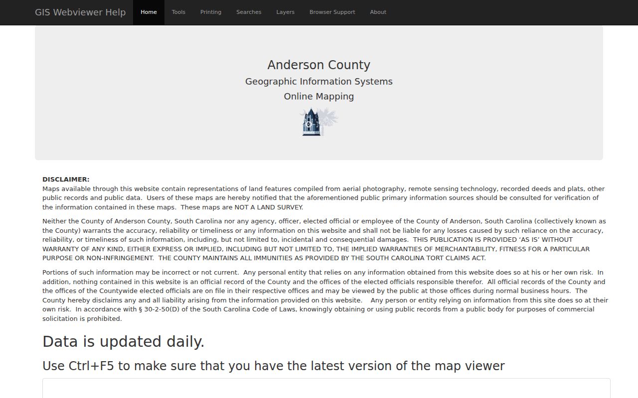
Use Identify for a selected parcel and Advanced Search only as map tools. Neither tool turns map geometry into a verified list of residents.
Anderson County Street Records by Address
Several Anderson County records can be associated with an address, but each answers a different question. The table separates a parcel’s official identifiers from historical address clues and permit or court-related paths. It also keeps access limits visible, particularly where a portal is account-gated or a historic source applies only to a given date.
| Address record | What it can show | Access and limit |
|---|---|---|
| Assessor parcel | Owner, mailing address, deed/plat references, lot, acreage, ratio, tax district | ACPASS is account-gated; documented owner, TMS, and street modes; Assessor counter, phone, and email are fallbacks. |
| Property Viewer | Parcel shape, TMS, roads, imagery, and mapped context | Disclaimer required; updated daily; informational only. |
| Recorded deed or plat | Transfer parties and legal-description trail | Register of Deeds / ACPASS channel, with formal confirmation at the ROD counter. |
| Historical books and index | Earlier grantor-grantee and legal-description research | Library guidance identifies an index for 1790-1948 and books for 1789-1901; archive series have differing spans. |
| OpenGov permit | Address or project lead | County account needed to submit; public result fields were not verified; counter, email, or a records request are fallbacks. |
| GIS/E911 addressing | Address-assignment route and supporting land details | County, City of Anderson, and named municipal processes differ. |
| Tax classification | Tax and legal-residence classification context | Classification is not a household-member list. |
| Probate estate | Estate, representative, or heir connection | Start with Anderson Probate Court and its court-access rules. |
| Directory volumes | Date-specific address, resident, business, or cross-street clues | Library and museum holdings vary by volume; no reverse section is promised for every year. |
| Sanborn maps | Historic building and street context | Library map case and online routes exist; the inspected source did not enumerate local map years. |
Note: A common street name is not enough to join records safely. Carry the TMS and legal description forward when an address trail crosses sources.
Follow Deeds Along an Anderson County Street
A deed chain follows a legal description, not just a house number. Start with the current parcel’s deed reference. In the recorded transfer, note the grantor, the person or entity transferring an interest, and the grantee, the receiving party. Keep the recording date and instrument, book, page, or document reference with the legal description. Then search the earlier seller as a grantee in a prior transfer and compare the description before treating it as the same land.
- Parcel
- A mapped tax-record unit identified locally by a TMS or Tax Map number.
- Situs and mailing address
- The situs is the physical property location; the mailing address is the owner’s recorded correspondence contact.
- Plat
- A recorded map or plan referenced by a parcel or deed.
- Criss-cross or reverse directory
- An address-oriented directory section, if a particular historical volume includes one. It is not established for every Anderson volume.
The Anderson ROD land-record entry displays a land-record route, account login, and REAACT fraud alerts. Its accessible view does not verify anonymous search fields, so the counter remains the route for formal confirmation.
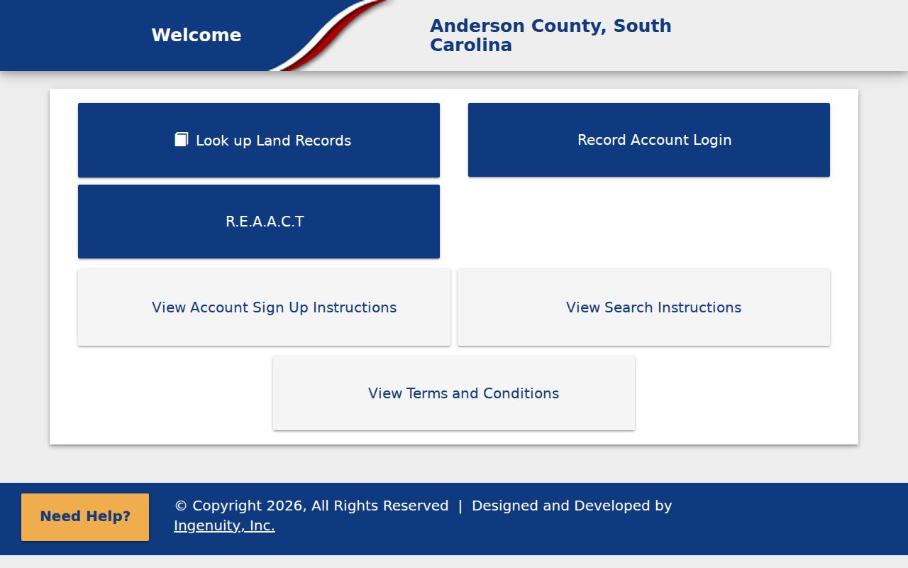
The current ROD entry point is useful for reaching the land-record channel, but it does not prove that every historical image is online. Library and archives materials take over when the record era changes.
Anderson County Permit Addresses
Permits can supply an address-specific project lead, not an occupancy finding. The county Building & Codes department directs applicable county work through OpenGov. The City of Anderson has its own portal, while address and permit handling can also differ in Iva, West Pelzer, Easley, Clemson, and Williamston. Start by identifying the property’s municipal or unincorporated setting on the Viewer and then use the correct government path. A street directory search cannot replace that jurisdiction check. A submitted county OpenGov request requires an account, and the research did not verify a public inventory of search-result fields.
The Building & Codes page identifies the county permit route and service categories.
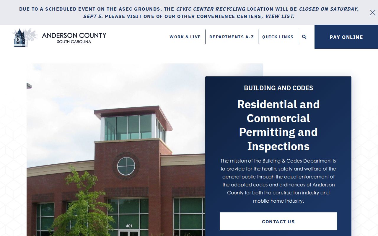
A permit entry should be checked with the department that holds it. It may describe a project or applicant context, but it does not confirm who currently occupies an address.
Note: For a public record not available through the documented portal, a focused request to the responsible custodian can be made under the South Carolina Freedom of Information Act.
Anderson County Street History in 1905-06
The digitized 1905-1906 Anderson city directory has a Street section that lists numbered buildings, residents or businesses, and cross streets or intersections in the examined Main Street sample. It is a useful local street directory source because it begins with a physical address pattern rather than an alphabetical name list. The result is historical evidence for that printed period only. It does not establish present occupancy or prove that a later directory includes the same type of section.
For a past household, compare the printed page to the closest released census, a dated map, deed language, or probate record. The library’s directory holdings and the museum’s listed collections offer the broader historical shelf; the Anderson County city directory collections provide the detailed volume-by-volume route.
Anderson County Street and Parcel Changes
Address labels and current parcel outlines can change. A recorded deed or plat for part of a lot causes county mapping staff to alter the tax map and tax record, with splits, combinations, and similar parcel changes taking effect in the following tax year. The Assessor reports more than 1,500 ownership, description, and mapping changes a year. Preserve the older legal description when a current map looks different from a historic deed.
County GIS/E911 says a current street-name change petition requires support from 75 percent of affected property owners and a 160-day notice period, except in emergencies. That is a current procedure, not evidence that a particular street was renamed. No countywide historical rename or renumbering index was found.
Anderson County Street Records Before 1826
Older land and road research needs a different geographic label. Cherokee land grants began after 1784, Pendleton County formed in 1789, and it became Pendleton District in 1800. Anderson and Pickens were formed from Pendleton District in 1826, and Anderson was redesignated a county in 1868. An early deed, road, court, or street-related record described today as Anderson County can therefore sit under predecessor Pendleton geography.
The State Archives inventory identifies road commissioner minutes from 1828-48 and road petitions from 1839-59, along with dated conveyance, court, tax, and estate series. Those holdings can supply an older location clue, but they are not a modern street directory and are not promised to be indexed under a current spelling. Search the historic jurisdiction and exact record series when a present address trail reaches that era.
Anderson County Street Record Safety
Recorded land research also has a current county safety feature. County materials from August 2025 describe approval of RFP 25-030 for land-record management software and fraud-alert notification, with a $75,000 implementation, conversion, training, and testing cost plus $40,000 annual maintenance for five years. On March 11, 2026, the county announced the free REACT alert service for possible recorded-document or real-estate fraud activity.
Use a REACT alert as a prompt to contact the Register of Deeds and inspect the official record. It is not a finding that fraud occurred, a substitute for reading a deed, or proof that all historical documents have an online image.
Anderson County Street Directory Limits
Street and parcel records leave out important private facts. They cannot show unrecorded occupants, every household member, utility or delivery customers, DMV address data, or people protected through address-confidentiality rules. A legal-residence classification is also not a resident roster. Historical directory entries are only evidence of what a specific volume printed at its date.
Lawful use. Use Anderson County address records for lawful personal, family-history, estate, property, or civic research. Do not use them to stalk, harass, or harm anyone.
South Carolina also prohibits knowingly using personal information obtained from state or local government records for commercial solicitation under S.C. Code § 30-2-50. Confirm any important land-record fact with the Register of Deeds, Assessor, or other custodian.