
Anderson County ZIP Code Coverage
No authoritative maintained source located for this research publishes a complete ZIP-by-ZIP list for Anderson County, every post office, boundary coverage, or ZIP-level population. Rather than supply a third-party compilation or guess at coverage rows, use the official tools below. The ZIP code directory is therefore a verification route, not a claimed countywide directory of postal zones. A named address should receive its current postal answer from USPS, while county mapping provides only geographic context.
| ZIP | Areas Covered | Post Office | Notes |
|---|---|---|---|
| USPS result for a supplied address | The exact delivery address entered | USPS ZIP Lookup | Use the current postal response; no ZIP number is asserted here without an address result. |
| Anderson postal facility | Anderson facility, not a countywide coverage claim | Anderson Post Office | The documented facility is at 1900B N. Main St., Anderson, SC 29621-9998. |
| Viewer ZIP boundary layer | Map orientation beside parcels and other layers | No post-office assignment shown | It cannot replace USPS for the ZIP assigned to a particular address. |
That limitation matters. A postal identifier is not municipal incorporation, property jurisdiction, or proof that a person resides at an address. Postal delivery, the Assessor’s parcel system, the Register of Deeds, elections, and address assignment follow different authorities.
Note: The lack of a complete official county ZIP list is a documented research gap, not evidence that only the tools listed here serve the county.
Verify Anderson County ZIP Codes Through USPS
Use the USPS postal lookup first when a complete address is known. It is the source for the current postal response. The property map can help orient the address afterward, but it does not control the delivery code. The local facility record is also useful for identifying the documented Anderson Post Office, not for inferring every ZIP or delivery area in Anderson County.
| Official tool | What to provide or review | Result and limit |
|---|---|---|
| USPS ZIP Lookup | Exact delivery address | Current address-to-ZIP verification; it does not establish a parcel owner or jurisdiction. |
| USPS location details | Facility record | Confirms the Anderson Post Office listing, including its documented address. |
| County Property Viewer | Address or mapped parcel context | Shows ZIP boundary orientation, not an official postal assignment. |
The USPS lookup screen is the source for the address-validation step.
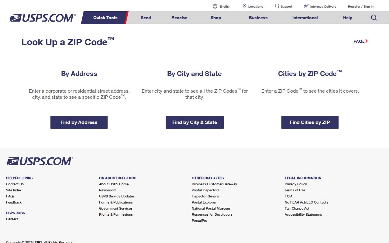
Use the postal result as the first field in a research note, then retain the exact street address for the parcel and addressing steps that follow.
The Anderson Post Office location record is the source for the facility listing.
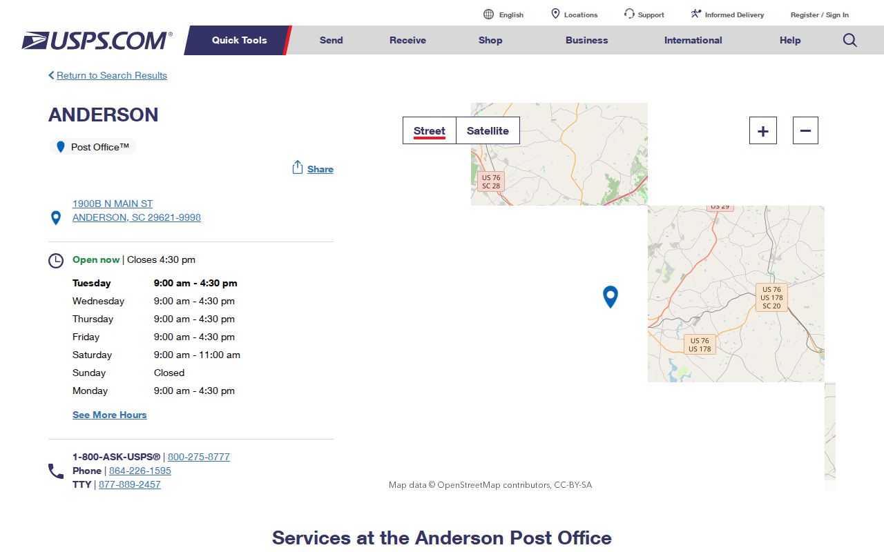
The facility page supports the local postal contact point. It does not publish a complete county coverage table, so it should not be stretched into one.
Map Anderson County ZIP Code Boundaries
The Anderson County Property Viewer includes a ZIP Code Boundary layer with parcel, parent-TMS, old lot line, dimensions, easement, road, municipal boundary, precinct, flood, cemetery, and tax-map layers. Those layers make a useful comparison: a map line, a parcel line, and a delivery geography do not answer the same question. Accept the viewer disclaimer before using it, then use its Identify tool to examine the parcel context. The map is updated daily but remains informational rather than a survey or legal description.
For an exact address, USPS controls the current postal answer. For a parcel question, use the map to find the TMS and then confirm it through ACPASS, the Assessor, or the appropriate custodian. This prevents a ZIP code directory search from becoming a claim that an apparent map boundary decides ownership or city jurisdiction.
Anderson County ZIP Addressing Paths
Anderson County GIS/E911 Addressing determines, maintains, and analyzes county addresses and street data using permits, plats, aerials, GPS, site visits, owner descriptions, and Assessor data. No new address is assigned without an open OpenGov permit in the applicable areas. The route changes by jurisdiction. County procedures serve unincorporated land and identified municipalities, the City of Anderson uses its own portal, and Iva, West Pelzer, Easley, Clemson, and Williamston use a non-OpenGov process.
The county’s non-OpenGov address request asks for a TMS, plat book and page, lot or subdivision, building type, street, acreage, structure or driveway location, and orientation relative to nearby structures. It also requires a city permit copy and an aerial, map, diagram, or plat. A complete accurate request generally needs at least 24 to 48 hours. Those fields show why a postal code alone cannot resolve an address-assignment question.
The GIS/E911 Addressing guidance documents the county and municipal split.
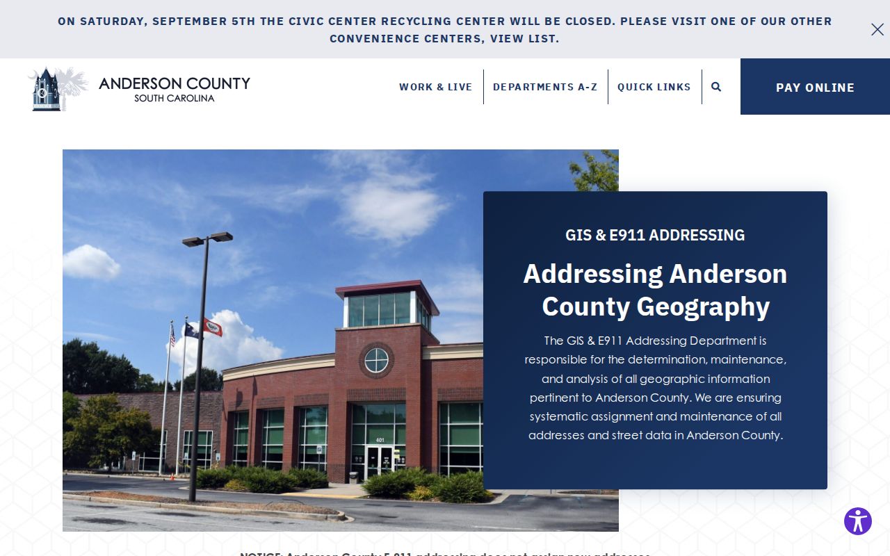
The guidance connects address assignment to permits and land information. It does not make the postal code a substitute for the permit or parcel record.
Find Anderson County Records After a ZIP Code
Once USPS confirms an address’s postal result, follow the address rather than trying to turn the delivery code into a countywide people search. ACPASS documents owner name, TMS, and street-name modes for real property. It does not document a ZIP-wide parcel field. MyscVOTES is a personal voter-information tool, not a street or ZIP browsing directory. This ZIP code directory workflow keeps each source within its stated function.
- Verify the complete address through USPS and save the current postal result.
- Locate the address or parcel in Property Viewer, record the TMS, and note county or municipal context.
- Use the County, City of Anderson, or named municipal address and permit route when the question is how an address was assigned.
- Search ACPASS by its documented owner, TMS, or street modes. Do not invent a ZIP-only filter.
- For an older address, compare the date-specific directory Street section, historic maps, plats, and the deed chain.
When the ZIP has narrowed the task to a named street, the Anderson County street directory provides the fuller address-to-parcel workflow.
Note: A postal address can direct the first search, but the TMS and legal description are the durable links between parcel, plat, and recorded deed research.
Anderson County ZIP Search Limits
Neither a maintained official county ZIP list nor an ACPASS ZIP-wide search mode was found in the inspected material. The Assessor documents real-property searches by owner name, Taxmap/TMS, and street name. The Property Viewer supplies visual boundary context. The official voter tools document personal registration, polling-place, ballot, and history functions, not a postal-code resident list. These are meaningful limits, not gaps to fill with unverified rows or claimed ZIP populations.
If an address result is unavailable online, use the responsible office’s counter or records channel. For county property data, that may be ACPASS access or the Assessor. For an addressing decision, use GIS/E911 or the appropriate municipal route. Historic work shifts to the Library, Museum, Register of Deeds, and archives according to the record’s date.
Anderson County ZIP Map Context
U.S. Census QuickFacts estimates 219,930 Anderson County residents in 2025, compared with 203,718 in the 2020 Census, across 713.85 square miles of land. Those figures help show the county scale behind a postal lookup, but they do not supply a ZIP-level population, a complete postal list, or the coverage of any particular delivery area. The county FIPS code is 45007 for work that needs the county geographic identifier.
Anderson County also spans City of Anderson and places whose address-assignment paths differ, including Belton, Pendleton, Pelzer, Williamston, Honea Path, Iva, West Pelzer, Easley, and Clemson. That geography reinforces the basic postal rule: verify the delivery result, then identify the parcel’s actual county or municipal context before choosing a record custodian.
Keep Anderson County ZIP Parcel Identifiers
After a postal check, the useful local identifiers are the parcel’s situs address, TMS, legal description, and deed or plat references. The situs is the physical property location. A mailing address is the correspondence contact for the recorded owner and may be elsewhere. A legal description and TMS connect assessment data, plats, and deed research more reliably than a street label, although a split or combination can alter a current tax-map parcel in the following tax year.
The Register of Deeds provides the formal land-record confirmation path. For historic continuity, compare the current parcel information with the deed description and then use the Library’s historical conveyance and directory resources. The delivery result remains a useful postal field in that note, but it cannot replace the land identifiers.
For a historic address, USPS can verify the present delivery result but cannot supply an earlier street layout. The local path then moves to the date-specific 1905-06 directory Street section, Sanborn map resources, plats, and the deed chain. Preserve the date of every source. A modern postal code should not be projected backward onto a historic directory entry or a recorded legal description.
Anderson County ZIP Codes and City Limits
Postal codes describe delivery geography. They do not establish whether a property is incorporated into the City of Anderson or which office controls its permit, assessment, deed, or election record. A property outside the city can use an Anderson postal address, while the county or municipal boundary and the local addressing route govern the records path. Check the Property Viewer’s municipal boundary layer, then confirm with the relevant county or city custodian when the jurisdiction matters.
Practical check. Use USPS for the current postal response, Property Viewer for map context, and the responsible county or municipal office for the address or property record.
For a historic address, compare a present postal address to plats, dated directory pages, historic maps, and deed descriptions. Postal labels can change meaning over time, while records must be read in their date and jurisdiction.
Anderson County ZIP Code Terms
These general postal terms help keep an Anderson County postal lookup in the right lane. They describe mail-routing concepts, not local evidence that a particular kind of ZIP is present in the county. The ZIP code directory uses them only to interpret a postal result before the parcel search begins.
- ZIP
- A postal delivery code assigned by USPS to an address or delivery arrangement.
- ZIP+4
- An added four digits used by USPS to refine delivery sorting beyond the base code.
- PO Box ZIP
- A ZIP used for post-office-box delivery rather than a statement about a physical parcel.
- Unique ZIP
- A ZIP associated with a single high-volume organization or delivery arrangement, when USPS assigns one.
- Carrier route
- A delivery sequence used by postal operations; it is not a municipal boundary or resident directory.
Use these terms to read the postal result accurately, then return to the parcel and custodian records for land or address questions.